iMapInvasives is an online mapping tool that provides statewide invasive species distribution information to natural resource managers, scientists, and citizens. Learn about the program and start contributing data by attending an iMap training session. To schedule a training for staff, volunteers, or the public, please contact PRISM staff.
DOWNLOAD the iMapInvasives Mobile App
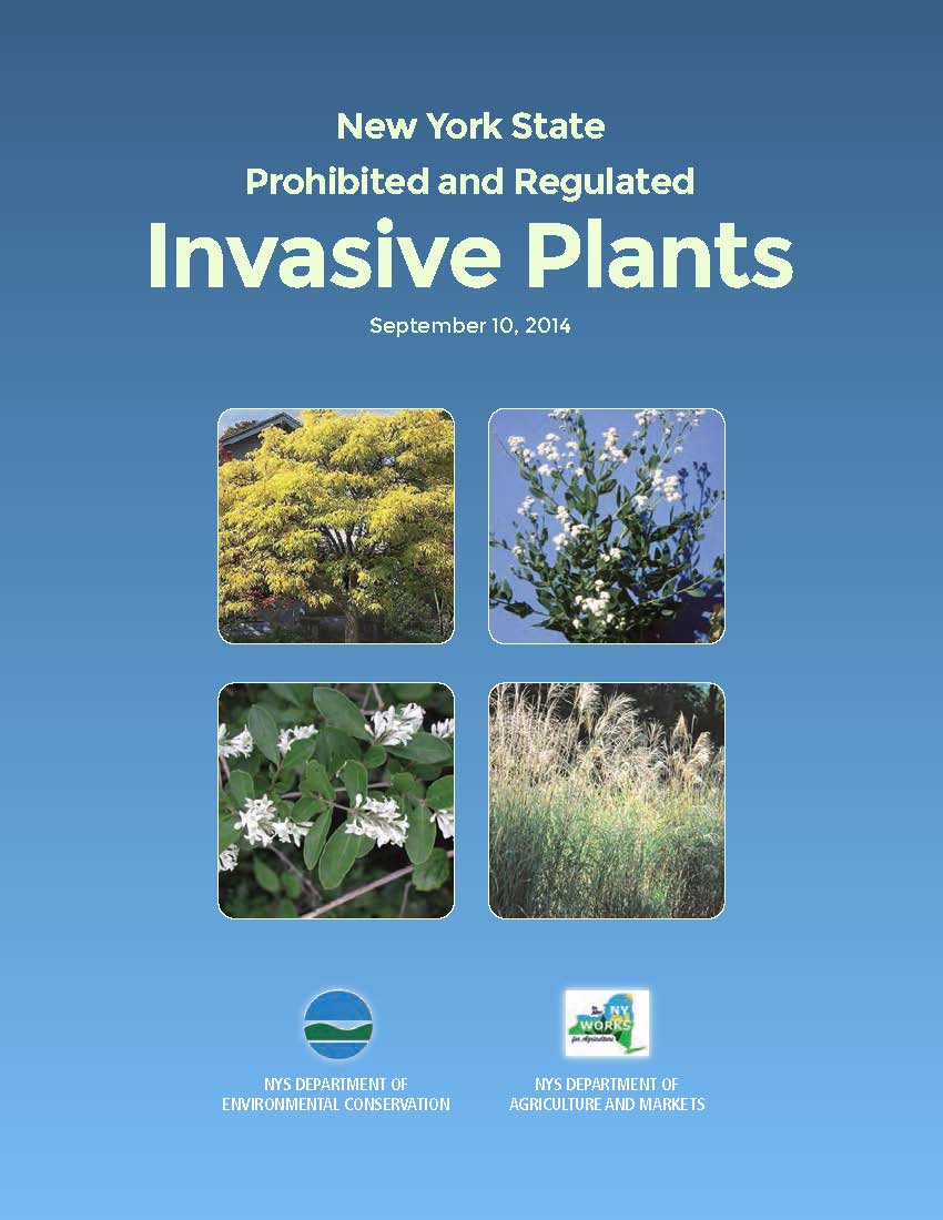
DOWNLOAD the brochure on Prohibited Plants

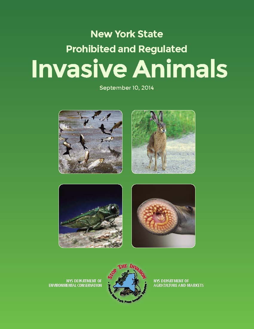
DOWNLOAD the brochure on Prohibited Animals


